
Why Aerial Drone Videography Is the Future of Visual Storytelling
- Jay Jameson
- Feb 16
- 3 min read

Updated: Feb 17

From Ground Level to New Heights
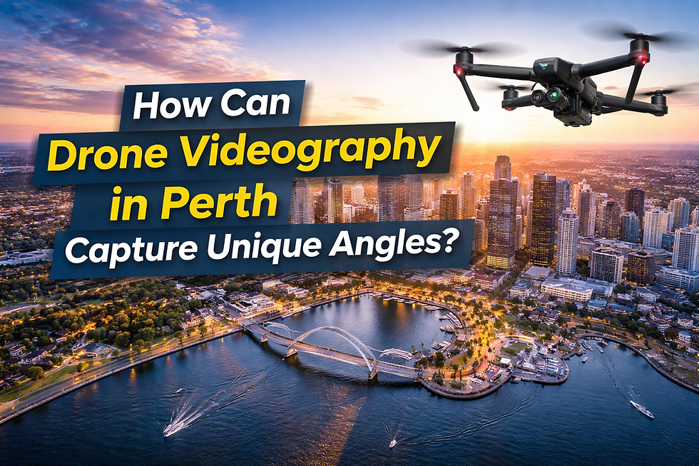
In today's competitive digital environment, businesses must use strong and engaging visuals to communicate their message effectively. Aerial drone videography has become an advanced solution that allows brands to capture dynamic footage from elevated perspectives. By filming from above, companies can present projects, properties, events, and landscapes with greater clarity and scale.
Traditional ground-level filming limits the viewer's understanding of space and surroundings. Aerial drone videography removes these limitations by offering wide-angle coverage and smooth motion shots that reveal context no ground camera can match. This modern technique creates visually impressive content that attracts attention across websites, social media platforms, and promotional campaigns. As video consumption continues to grow, demand for aerial drone videography is rising across multiple industries.
The Creative Power of Aerial Drone Videography
Aerial drone videography plays an important role in enhancing visual storytelling by providing perspectives simply unavailable from the ground. It highlights depth, structure, and environmental context in ways that strengthen a brand's presentation. Businesses in real estate, tourism, hospitality, and infrastructure benefit greatly from these elevated visuals.
What Only Drones Can Deliver
Key creative advantages that only drone videography can deliver include:
Panoramic views that reveal the full scale of a property, project, or landscape in a single unobstructed shot, something no ground-level camera can replicate.
Smooth aerial movement, flyovers, orbits, and slow reveals that create cinematic storytelling impossible from ground level.
High-resolution footage captured above obstructions, delivering clean, professional branding visuals free from crowds, fences, and ground-level clutter.
Greater audience engagement through immersive bird's-eye visuals that hold attention longer than static ground-level shots.
Expanding Industrial Use Through Drone-Based Surveying
Beyond marketing and branding, aerial drone videography supports practical business operations. Drone technology bridges the gap between creative storytelling and industrial precision, making it one of the most versatile tools available to modern businesses. One major operational application is aerial surveying, which allows professionals to collect accurate site data efficiently and safely.
Industries Benefiting from Aerial Surveying
Industries such as construction, agriculture, mining, and land development rely on aerial surveying to improve planning and monitoring processes. Using drone technology reduces the risks associated with manual inspections keeping teams off dangerous terrain while still capturing the data they need. It helps measure land boundaries, inspect buildings, monitor crop conditions, and track construction progress in real time. Compared to traditional methods, drone-based aerial surveying saves significant time and lowers operational costs while maintaining high accuracy.
Precision Mapping and Data-Driven Decision Making
Modern drone systems are equipped with advanced sensors and high-definition cameras that go far beyond simple photography. This technology strengthens surveying outcomes by producing precise measurements and detailed visual records at a fraction of the time and cost of traditional methods. Companies can create digital maps, 3D terrain models, and site analysis reports using reliable drone data all from a single flight.
Combining Visual Documentation with Analytical Data
At the same time, aerial drone videography enhances reporting by providing clear visual documentation alongside that analytical data. The integration of precision mapping with video production allows businesses to combine hard numbers with compelling presentation materials, supporting more informed communication with clients, investors, and stakeholders. The result is a richer, more credible case for every major decision.
Key Highlights:
Digital maps and aerial imagery for accurate site overviews
3D terrain models for planning, design, and stakeholder presentations
Site analysis reports combining video footage with sensor data
Progress documentation videos for clients and internal review
A Competitive Advantage for Forward-Thinking Businesses
The future of visual storytelling depends on innovation, efficiency, and strong impact. Aerial drone videography meets all three requirements by delivering advanced filming solutions that are both creative and practical. As industries continue to adopt aerial and drone photography and expand their use of surveying and mapping, drone technology will only become more essential to how businesses operate and communicate.
The Future Belongs to Early Adopters
In conclusion, aerial drone videography is shaping the future because it combines cinematic storytelling with the operational precision of aerial mapping and data collection. Businesses that adopt this technology gain a genuine competitive advantage, presenting compelling visual content while making smarter, data-informed decisions that drive real results.


Comments